
Descrivere il paesaggio (First series)
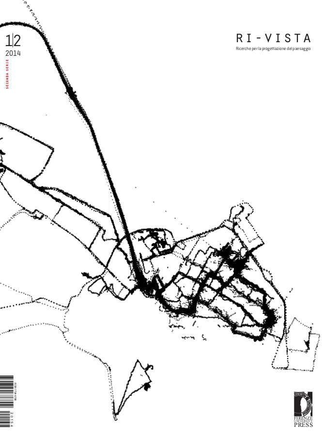
Interoperabilità e accessibilità dei dati topografici. Integrazione, aggiornamento e generalizzazione delle banche dati della Regione Toscana
Published 2015-10-30
Keywords
- generalization,
- cartography and spatial planning
How to Cite
Ciampi, C., Lucchesi, F., Nardini, F., & Scatarzi, I. (2015). Interoperabilità e accessibilità dei dati topografici. Integrazione, aggiornamento e generalizzazione delle banche dati della Regione Toscana. Ri-Vista. Research for Landscape Architecture, 12(1-2), 44–55. https://doi.org/10.13128/RV-17218